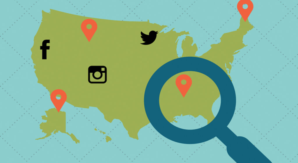
Geotagging adds geographical information to media through the use of metadata. Geotagging data often includes latitude and longitude coordinates, but may also include altitude, distance, and physical location names. Geotagging is most commonly used for photographs and can help people get specific information about where the picture was taken or the exact location of a user who logged on to an online service. Some digital rights management software relies on Geotagging information to permit or deny access to content.
Most cellphones are equipped with Global Positioning Systems (GPS), used for finding directions, local weather reports, or local restaurants to eat at. These mobile devices tie their GPS to the phone’s camera and automatically record the location data (geotagged data) within each image’s metadata. Law enforcement officials often use geotagging metadata in their investigations.
What does this mean for an SMB?
Cellphone users often look for local businesses and are presented results based upon each business’s location. It’s a good idea for SMBs with a brick-and-mortar footprint to publish their location on their Google Business page to help bring people to their location.
Other geotagging features CyberHoot has heard about relates to automated physical security measures. Some Mobile Device Management (MDM) software can automatically disable smartphone camera’s when that device is in a restricted area while allowing the camera to be used at other times.
Unfortunately, not all devices are managed like a Smartphone. The US Military has had to ban fitness trackers from its high-security facilities due to the Geotagging features of those applications apps that publish this data to Internet websites like Garmin Connect or Strava. Such location data puts the lives of our military at risk.
To learn more about Geotagging and its risks to Military Bases, please watch these short videos: